Cedar Hill, United States latitude longitude
Decimal latitude and longitude coordinates for Cedar Hill (United States): 32.58847, -96.95612
More about Cedar Hill Lat-Long position
Cedar Hill is located in United States country, in North America continent (or region). DMS latitude longitude coordinates for Cedar Hill are: 32°35'18.49"N, 96°57'22.03"W.
• Latitude position:
Equator ⇐ 3623km (2252mi) ⇐ Cedar Hill ⇒ 6384km (3967mi) ⇒ North pole.
• Longitude position:
Cedar Hill ⇐ 8698km (5404mi) ⇐ Prime meridian. GMT: -5h.
• Local time in Cedar Hill: Saturday 12:16 pm, August 1, 2026. [*time info]

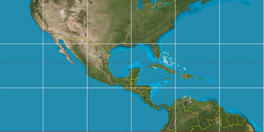

Step for grid lines is 15°. On second map 30° latitude and -90° longitude line is numbered. Map pointer shows the 32.59, -96.96 lat-long coordinates.
[*time info] Shown time is in moment when this page is generated. For more accurate time in Cedar Hill visit timein.org (new window).
© 2015 - LatitudeLongitude.org Terms of use - programmed by Igi