Dayr Abū Ḑa‘īf, Palestinian Territory latitude longitude
Decimal latitude and longitude coordinates for Dayr Abū Ḑa‘īf (Palestinian Territory): 32.45601, 35.36164
More about Dayr Abū Ḑa‘īf Lat-Long position
Dayr Abū Ḑa‘īf is located in Palestinian Territory country, in Asia continent (or region). DMS latitude longitude coordinates for Dayr Abū Ḑa‘īf are: 32°27'21.64"N, 35°21'41.9"E.
• Latitude position:
Equator ⇐ 3609km (2242mi) ⇐ Dayr Abū Ḑa‘īf ⇒ 6398km (3976mi) ⇒ North pole.
• Longitude position:
Prime meridian ⇒ 3302km (2052mi) ⇒ Dayr Abū Ḑa‘īf. GMT: +3h.
• Local time in Dayr Abū Ḑa‘īf: Saturday 7:30 pm, August 1, 2026. [*time info]

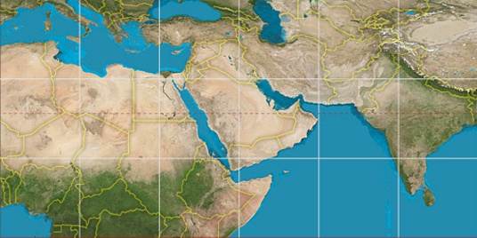

Step for grid lines is 15°. On second map 30° latitude and 30° longitude line is numbered. Map pointer shows the 32.46, 35.36 lat-long coordinates.
[*time info] Shown time is in moment when this page is generated. For more accurate time in Dayr Abū Ḑa‘īf visit timein.org (new window).
© 2015 - LatitudeLongitude.org Terms of use - programmed by Igi