San Andres, Philippines latitude longitude
Decimal latitude and longitude coordinates for San Andres (Philippines): 13.3227, 122.6779
More about San Andres Lat-Long position
San Andres is located in Philippines country, in Southeast Asia continent (or region). DMS latitude longitude coordinates for San Andres are: 13°19'21.72"N, 122°40'40.44"E.
• Latitude position:
Equator ⇐ 1481km (920mi) ⇐ San Andres ⇒ 8526km (5298mi) ⇒ North pole.
• Longitude position:
Prime meridian ⇒ 13039km (8102mi) ⇒ San Andres. GMT: +8h.
• Local time in San Andres: Monday 6:20 am, August 3, 2026. [*time info]

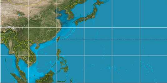

Step for grid lines is 15°. On second map 15° latitude and 120° longitude line is numbered. Map pointer shows the 13.32, 122.68 lat-long coordinates.
[*time info] Shown time is in moment when this page is generated. For more accurate time in San Andres visit timein.org (new window).
© 2015 - LatitudeLongitude.org Terms of use - programmed by Igi