Puerto Santa, Peru latitude longitude
Decimal latitude and longitude coordinates for Puerto Santa (Peru): -8.9919, -78.65058
More about Puerto Santa Lat-Long position
Puerto Santa is located in Peru country, in South America continent (or region). DMS latitude longitude coordinates for Puerto Santa are: 8°59'30.84"S, 78°39'2.09"W.
• Latitude position:
Equator ⇐ 1000km (621mi) ⇐ Puerto Santa ⇒ 9007km (5597mi) ⇒ South pole.
• Longitude position:
Puerto Santa ⇐ 8617km (5355mi) ⇐ Prime meridian. GMT: -5h.
• Local time in Puerto Santa: Saturday 1:16 pm, August 1, 2026. [*time info]

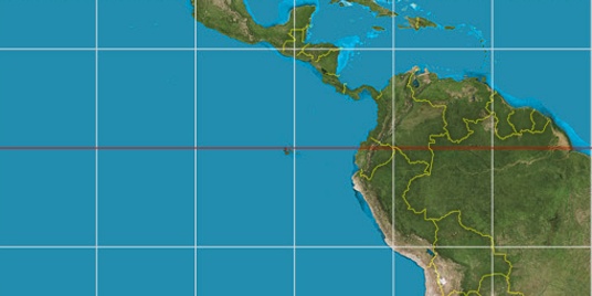

Step for grid lines is 15°. On second map -15° latitude and -75° longitude line is numbered. Map pointer shows the -8.99, -78.65 lat-long coordinates.
[*time info] Shown time is in moment when this page is generated. For more accurate time in Puerto Santa visit timein.org (new window).
© 2015 - LatitudeLongitude.org Terms of use - programmed by Igi