Belén, Mexico latitude longitude
Decimal latitude and longitude coordinates for Belén (Mexico): 17.78891, -92.61294
More about Belén Lat-Long position
Belén is located in Mexico country, in North America continent (or region). DMS latitude longitude coordinates for Belén are: 17°47'20.08"N, 92°36'46.58"W.
• Latitude position:
Equator ⇐ 1978km (1229mi) ⇐ Belén ⇒ 8029km (4989mi) ⇒ North pole.
• Longitude position:
Belén ⇐ 9676km (6012mi) ⇐ Prime meridian. GMT: -6h.
• Local time in Belén: Saturday 10:25 am, August 1, 2026. [*time info]

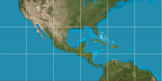

Step for grid lines is 15°. On second map 15° latitude and -90° longitude line is numbered. Map pointer shows the 17.79, -92.61 lat-long coordinates.
[*time info] Shown time is in moment when this page is generated. For more accurate time in Belén visit timein.org (new window).
© 2015 - LatitudeLongitude.org Terms of use - programmed by Igi