Jhālū, India latitude longitude
Decimal latitude and longitude coordinates for Jhālū (India): 29.33616, 78.22513
More about Jhālū Lat-Long position
Jhālū is located in India country, in Asia continent (or region). DMS latitude longitude coordinates for Jhālū are: 29°20'10.18"N, 78°13'30.47"E.
• Latitude position:
Equator ⇐ 3262km (2027mi) ⇐ Jhālū ⇒ 6745km (4191mi) ⇒ North pole.
• Longitude position:
Prime meridian ⇒ 7419km (4610mi) ⇒ Jhālū. GMT: +5.5h.
• Local time in Jhālū: Saturday 11:48 pm, August 1, 2026. [*time info]

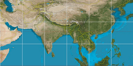

Step for grid lines is 15°. On second map 30° latitude and 75° longitude line is numbered. Map pointer shows the 29.34, 78.23 lat-long coordinates.
[*time info] Shown time is in moment when this page is generated. For more accurate time in Jhālū visit timein.org (new window).
© 2015 - LatitudeLongitude.org Terms of use - programmed by Igi