Ille-sur-Têt, France latitude longitude
Decimal latitude and longitude coordinates for Ille-sur-Têt (France): 42.67069, 2.62162
More about Ille-sur-Têt Lat-Long position
Ille-sur-Têt is located in France country, in Europe continent (or region). DMS latitude longitude coordinates for Ille-sur-Têt are: 42°40'14.48"N, 2°37'17.83"E.
• Latitude position:
Equator ⇐ 4745km (2948mi) ⇐ Ille-sur-Têt ⇒ 5263km (3270mi) ⇒ North pole.
• Longitude position:
Prime meridian ⇒ 214km (133mi) ⇒ Ille-sur-Têt. GMT: +2h.
• Local time in Ille-sur-Têt: Saturday 6:42 pm, August 1, 2026. [*time info]

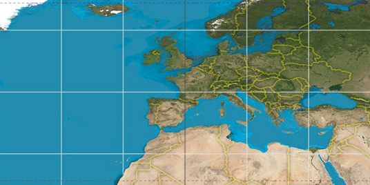

Step for grid lines is 15°. On second map 45° latitude and 0° longitude line is numbered. Map pointer shows the 42.67, 2.62 lat-long coordinates.
[*time info] Shown time is in moment when this page is generated. For more accurate time in Ille-sur-Têt visit timein.org (new window).
© 2015 - LatitudeLongitude.org Terms of use - programmed by Igi