Rangeville, Australia latitude longitude
Decimal latitude and longitude coordinates for Rangeville (Australia): -27.58318, 151.97997
More about Rangeville Lat-Long position
Rangeville is located in Australia country, in Australia continent (or region). DMS latitude longitude coordinates for Rangeville are: 27°34'59.45"S, 151°58'47.89"E.
• Latitude position:
Equator ⇐ 3067km (1906mi) ⇐ Rangeville ⇒ 6940km (4312mi) ⇒ South pole.
• Longitude position:
Prime meridian ⇒ 13190km (8196mi) ⇒ Rangeville. GMT: +10h.
• Local time in Rangeville: Sunday 7:37 am, April 26, 2026. [*time info]

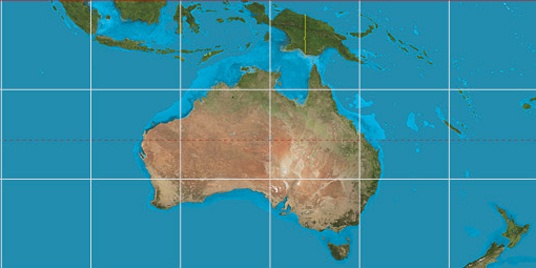

Step for grid lines is 15°. On second map -30° latitude and 150° longitude line is numbered. Map pointer shows the -27.58, 151.98 lat-long coordinates.
[*time info] Shown time is in moment when this page is generated. For more accurate time in Rangeville visit timein.org (new window).
© 2015 - LatitudeLongitude.org Terms of use - programmed by Igi